
One of the revelations from CS373: Artificial Intelligence for Robotics, is the extent to which autonomous driving technology uses a hybrid of global mapping and local sensing.
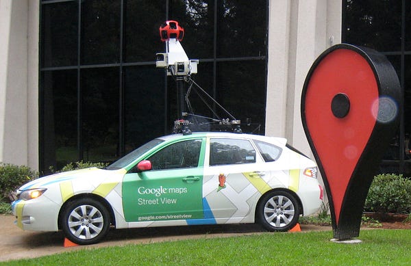
So, for example, when if a car wants to drive from Los Angeles to San Francisco, it basically outsources the mapping functions to Google Maps, and only uses local computation for visual horizon driving.
This simplifies the software and allows the robotics wizards to focus just on local issues.
It’s one of those things that’s obvious once it’s explained but kind of revelatory.
Originally published at www.davidincalifornia.com on October 13, 2015.
